I may look happy, but don’t be deceived - underneath that smile is a killer waiting to strike. Wait…a killer? Really?
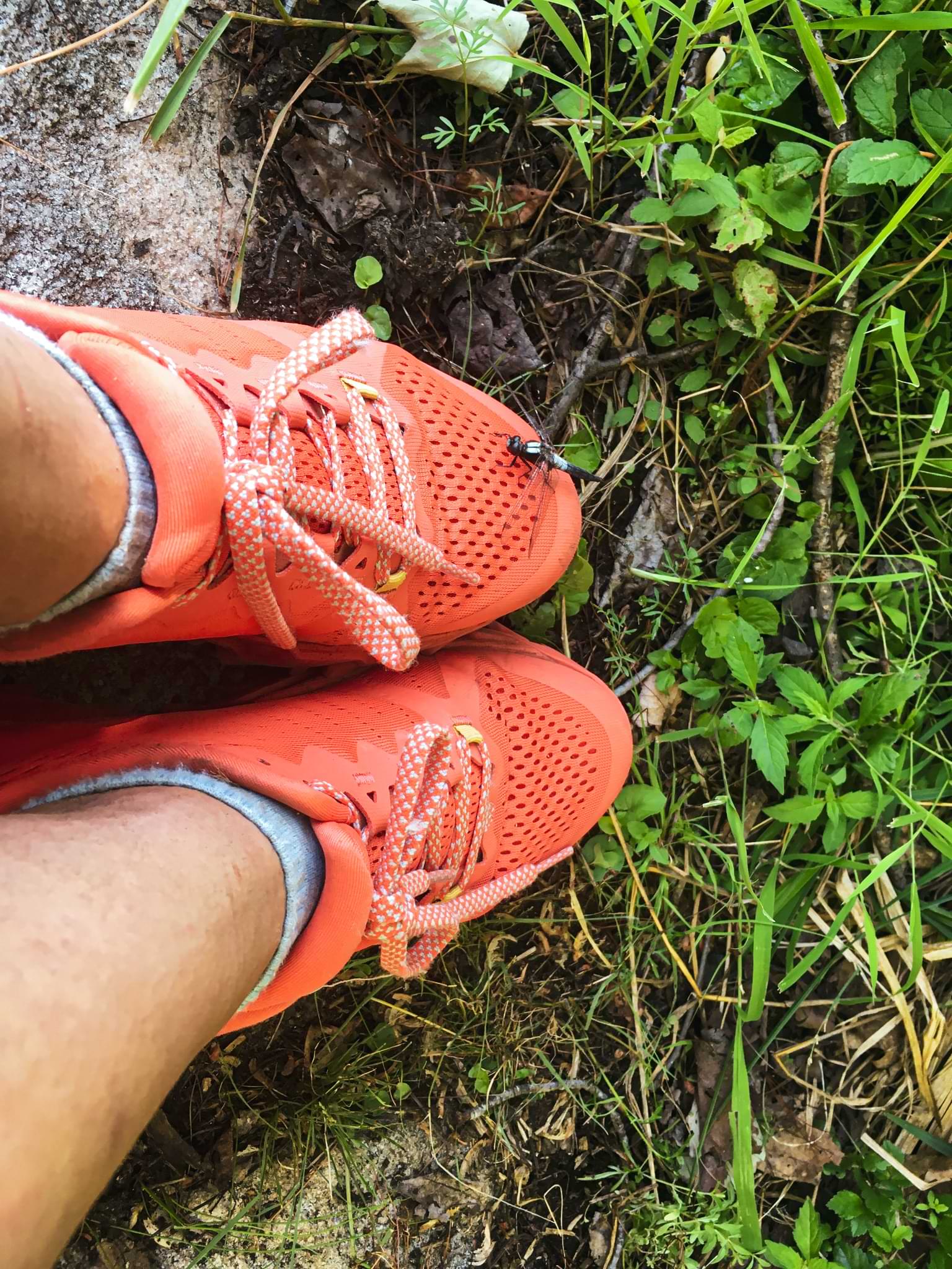
Now I’m sure that thought just gets your mind swimming (and curious as to why a killer would have a blog), but have no fear! The only kills I can lay claim to purely revolve around insects, particularly those bloodsucking creatures that make our lives a living nightmare when any form of outdoor activity is completed in the spring. Only a fool would truly believe that Canada’s north is devoid of mosquitoes, black flies, horse flies, and other filth year round. It’s a party in the springtime and if you think otherwise, be prepared to suffer in full because let me tell you, it’s a party you either want to miss out on entirely or one that requires full mental and physical preperation (if you can somehow prepare your soul do that too because you’ll need a constitution that can battle an army).
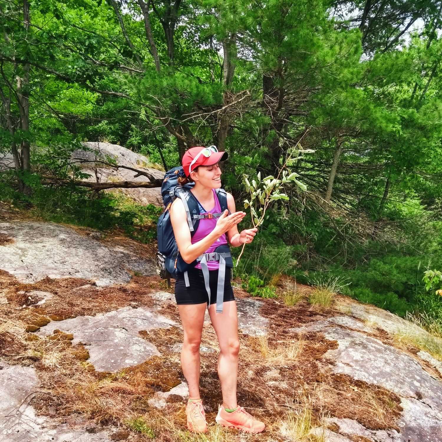
If you want some kind of idea as to how terrible the bugs can get in northern Ontario, look no further than the photo captured above. I’m holding what I so dearly named my bug swatting stick - a young tree I ripped out in a blind rage, desperate to find some relief against the onslaught of mosquitoes so intent on biting my neck, arms, legs - any availiable skin while hiking a section of the Ganaraska Trail in the early days of July. While I can’t confirm whether or not my homemade (trailmade) device actually worked, I can tell you that the satisfaction I gained just swinging the thing around was immense, even if only for a brief amount of time.
Despite the bugs however, I can say that my backpacking trip on the Ganaraska Trail with Isaac’s family and good friend was excellent and certainly deserves a storytime. So for anyone looking to hike in Queen Elizabeth II Wildlands Provincial Park (affectionately called QE2), look no further - this post will give you some insight as to what to expect if you plan on organizing a trip on this trail before the height of summer really kicks in.
Day One - 2 Kilometers (give or take)
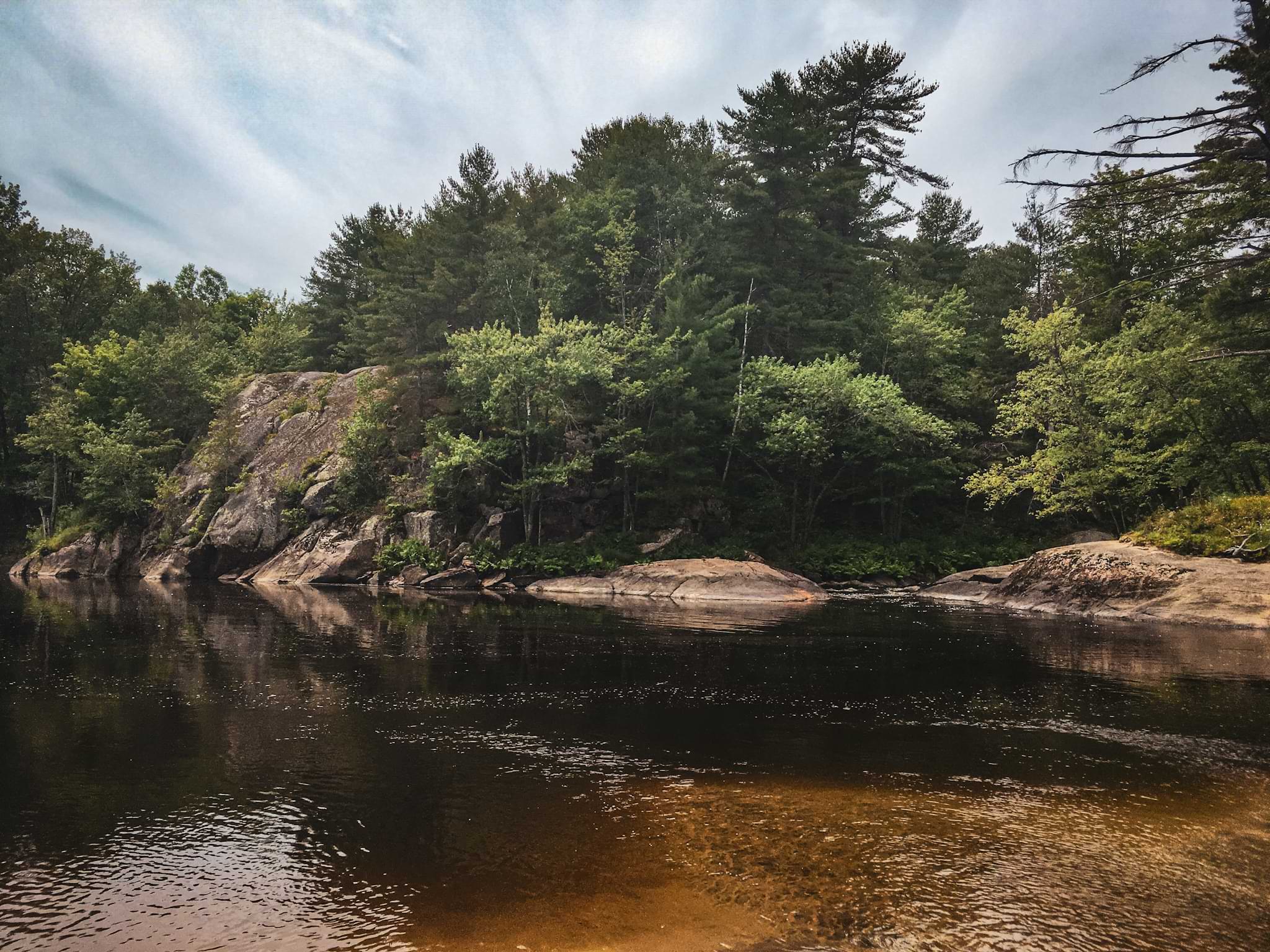
If you’re driving in from the GTA, Wellington County, Dufferin County, Peel, the Halton region, or really any place in Southern Ontario (yes, disappointingly this is where I’m from), expect to commit to a 2-3 hour drive to reach the small parking lot at Victoria Falls, one that requires you to not only drive up the 400 HWY (exciting, I know), but eventually Black River Road - a rugged, bumpy and fairly narrow logging road that leads you to the trailhead. This part of the drive was far more interesting. Not only are you right in the thick of the boreal forest, but are greeted to friendly views of the Black River, a rather murky meandering stream that weaves in and out of view as you creep closer to Victoria Falls (a common canoe route from what I hear).
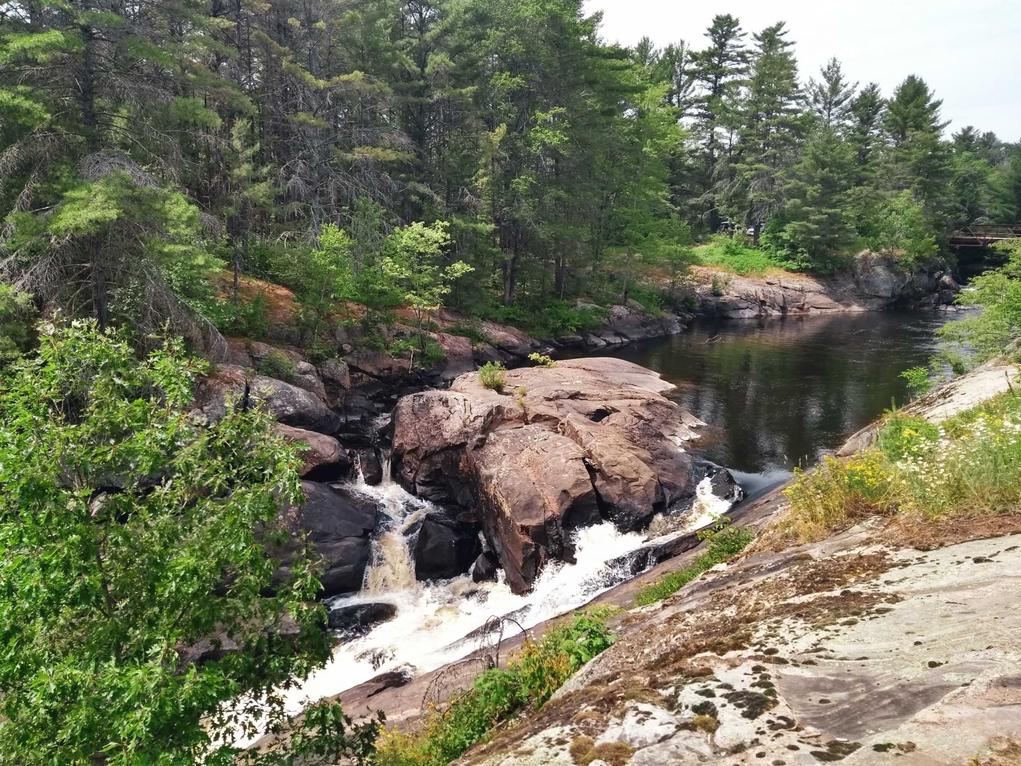
Now in the stinking heat Victoria Falls is a hopping place, and not for hiking. No, before you get out on the trail and head towards Black River Junction, you have the opportunity to walk alongside the rapids and the falls themselves (lovely views), slowly moving downwards towards a sandy beach where camping is prohibited (don’t push your luck, folks). While camping is certainly not permitted, this spot is a very nice place to swim - and I mean that entirely. When we arrived the place was teeming with locals not only enjoying the scenery, but the water too. The rapids provide a nice opportunity to lazily spin in circles, slowly move downstream, or simply a chance to work against the current, maybe working up a nice sweat (kind of difficult to do in the water though). The discharge from the rapids and adjoining stream creates the perfect sandy terrain, something nice on the feet for a summer swim.
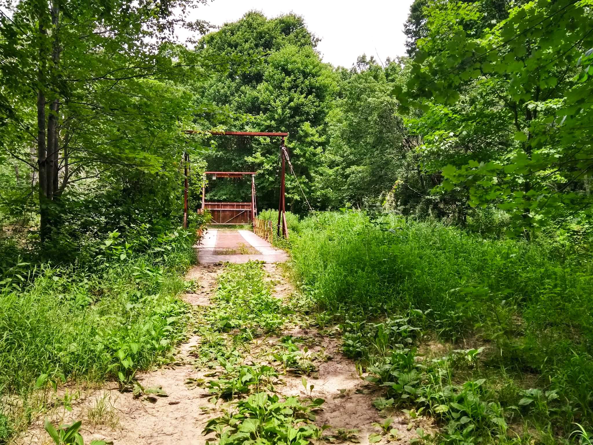
At this point in the trip we had yet to take a dip, but planned on doing so at a later time. We simply decided to continue moving - stopping for too long resulted in a horrible onslaught of mosquitoes and blackflies, something no one was in the mood for dealing with after leaving the peaceful shelter of the van (basically an oasis, let me tell you). Passing the beach, we crossed over a small bridge once used by ATVs and snowmobiles prior to the creation of the park, hopping a fence on the way (I slid under like a ninja). Once past this obsticle, we continued up the trail, battling the sand and bugs until reaching Black River Junction. Seeing as we arrived at Victoria Falls fairly late in the day (sundown was already creeping in) we decided to turn left at the junction and settle in at the first campsite availiable for use, which fortunately was the closest one to the parking lot (maybe 2 kilometers away - not remotely far at all). Honestly, it’s a great site to use if you’re arriving late!
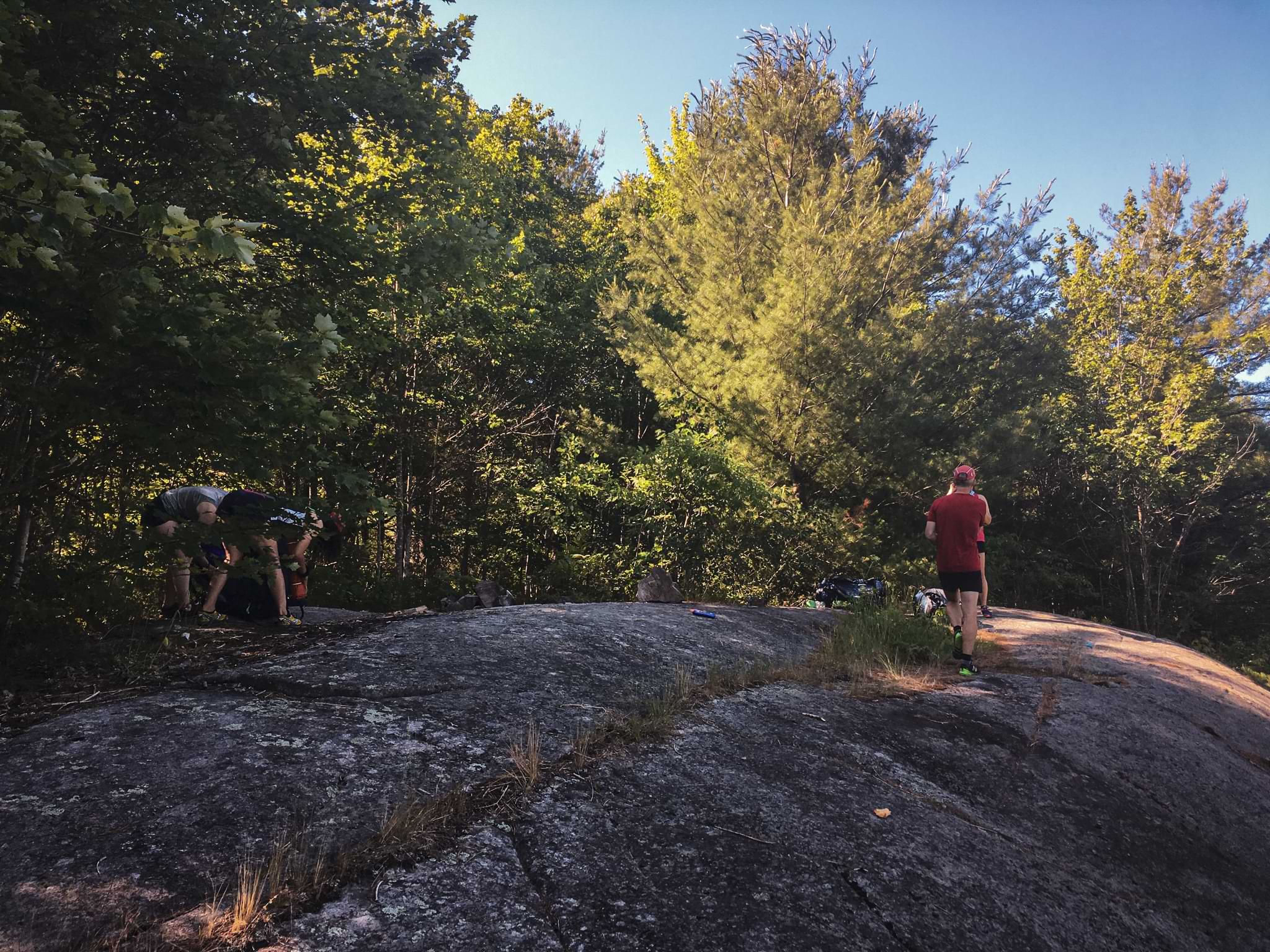
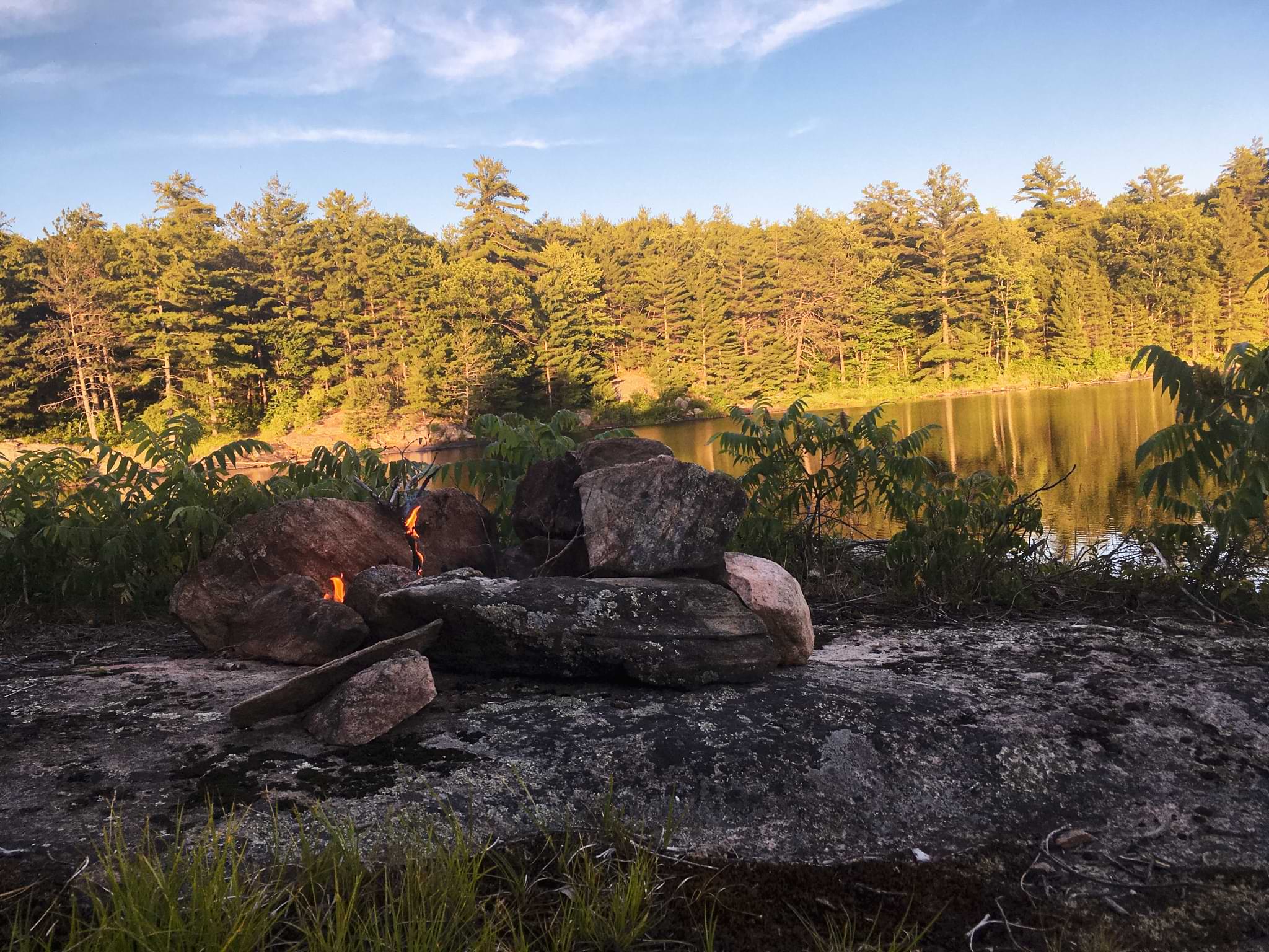
Around 100 meters from the Junction is the campsite, perched somewhat precariously (depends on your definition of the word) on a large chunk of granite overlooking a marsh (a marsh teeming with mosquitoes). With no water access make sure you bring enough water for the first night on the trail (we all had about 1 litre of water on-hand so more than enough for dinner and breakfast the next morning). Setting up camp was a breeze simply because no one was in the mood to lounge around. Again, the bugs were simply too bad to permit socializing, so most of us inhaled our evening meal (probably inhaled a few bugs in the process) and retreated to our tents. Sarah and Paul (Isaac’s sister and father) were brave and decided to swim, returning back to the swimming hole to enjoy the beach - absolutely crazy to me with all of the mosquitoes, but they seemed to enjoy it!
The night was calm and our sleep was peaceful, besides the odd splash of a beaver in the marsh (while eating dinner we sat up on the rocks and watched them swim and play in the water) and someone murmuring in their sleep (I know who, but I’ll keep that a secret).
Day Two - 15 Kilometers (give or take)
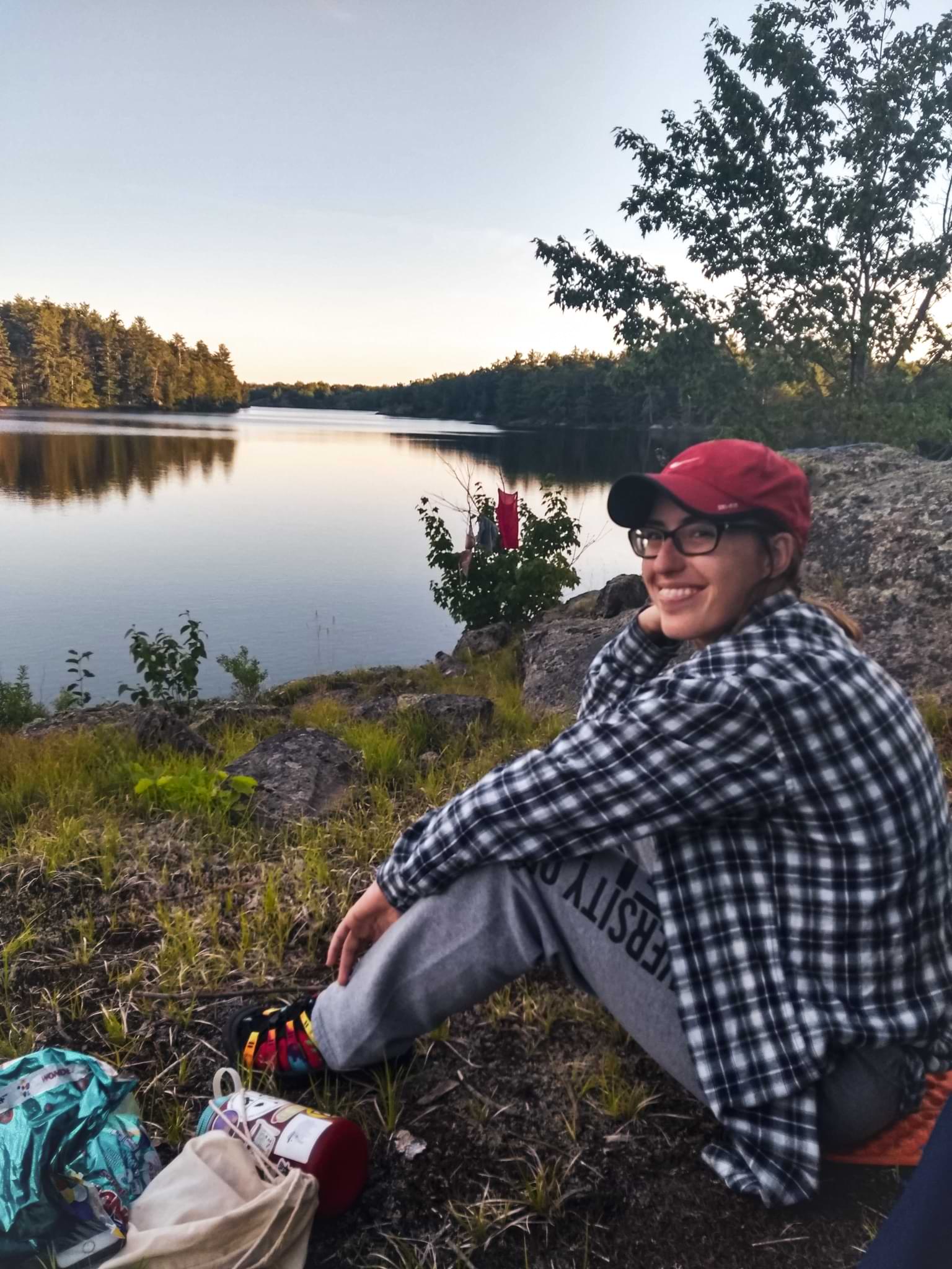
Rising with the sun (mostly) we all ate a nice hearty breakfast that inclued oatmeal, scrambled eggs, and toast (it’s nice to have a larger meal the first night as the lack of refrigeration won’t harm you next morning - treat yourself). We cleaned up a bit more leasurely this time around, as the cool morning air meant some reprieve from the bugs. I chose a nice place along the rocky ledge to look out into the marsh, hoping to see some wildlife. No luck of course, but it’s always worth keeping your eyes open and willing - you never know what can happen. Still no luck, but the view was enjoyable and offered a good start to the trip.
After packing up we headed back onto the trail, walking towards Black River Junction once again. Our plan was to head left towards Black Fly Junction (true to its name that’s for sure). The so called ‘Graveyard Section’ of the trail (between Black River Junction and Black Fly Junction) is fairly typical for QE2. Parts of the path are well worn and travelled because of an old ATV trail, while others are a bit challenging. Blazes have been spray painted on exposed sections of rock and trees, but at some points on the trail pathfinding is incredibly difficult. The undergrowth is far too prominent, creating gaps in the trail that require time to essentially ‘decode’ in a sense. So if you’re going to go backpacking on this trail don’t be an idiot and rely on the trail alone - bring a map, cellular device, or GPS unit to track your progress and be prepared to stop and look for blazes. It’s really easy to get off track, which is really unfortunate when you want to keep moving to fend off the bugs!
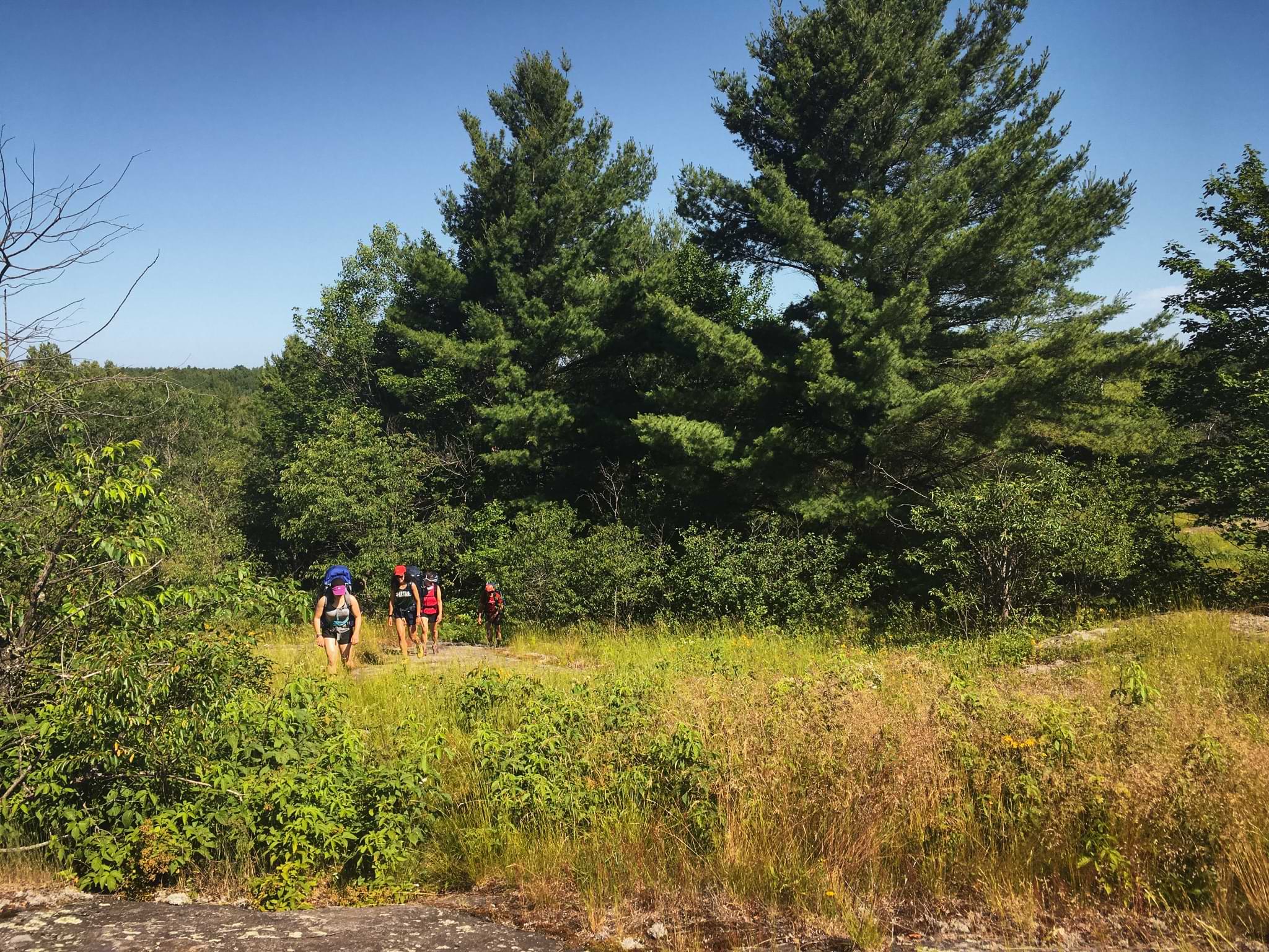
Besides losing the trail on and off, this section of the hike is quite facinating, offering forest views and scenery akin to a savanah at times. The exposed rock and lack of growth gives the landscape a sense of dryness that you can only find on a safari. The only thing that breaks you out of this frame of thinking is the moss crunching underfoot and the continual patch of forest you pass through along the trail. Sections of the path are uphill and down, kind of reminding me of Killarney Provincial Park with all of its exposed granite, minus the stellar mountainous views (don’t worry though - the scenery is still great).
What this trail lacks in views however, are opportunities to see wildlife at its finest. While walking on the trail we narrowly missed seeing a moose. Easily startled, it heard our conversation and lumbered away through the forest only 10-15 meters away from us. We could hear it crashing through the underbrush, but didn’t quite catch a glimpse. What we did see however, were two sandhill cranes. After passing through Black Fly Junction Paul spotted the cranes in a nearby marsh, largely the result of their loud, throaty call (it’s honestly such a weird sound).
We watched the cranes for awhile, stopping in order to evaulate the condition of our water supplies at the same time. Now this is the second thing you need to keep an eye out for on this trail - a decent place to stop and gather water. While maps show water everywhere, don’t be fooled. By the time summer kicks in the water level usually drops significantly, meaning that the marshes become rather grimy and honestly pretty gross. The quality of water is poor, even with a decent filter. In order to combat this we brought a large sum of flavourings to pour in the water to combat its nasty taste, which works pretty well overall, especially when you’re thirsty and will honestly drink anything if given the opportunity. Still, finding a large enough body of water to fill up on was a challenge and combined with temperatures exceeding 30 degrees we were struggling with low energy levels and group morale.
We pushed on though, eventually deciding on a spot to have lunch and re-fill out water bottles (a view point along the tail that overlooks yet another marsh). To battle the heat and bugs we set up a tent and enjoyed some veggies, wraps with summer sausage, peanut butter and jam, and cookies - you can’t have lunch without cookies!
Cookies in hand and the gear packed away, we trudged along, passing through Hiker’s Graveyard, another fun little spot on the trail. Whether a natural feature of the landscape or an amusing past time courtasy of passing backpackers, small towers of rocks and stone litter the area, creating what appears to be a graveyard. You can stop to take a water break, a few funny pictures, or continue hiking - you choose. Whatever the case, be prepared, because at this point on the trail pathfinding becomes a lot more challenging.
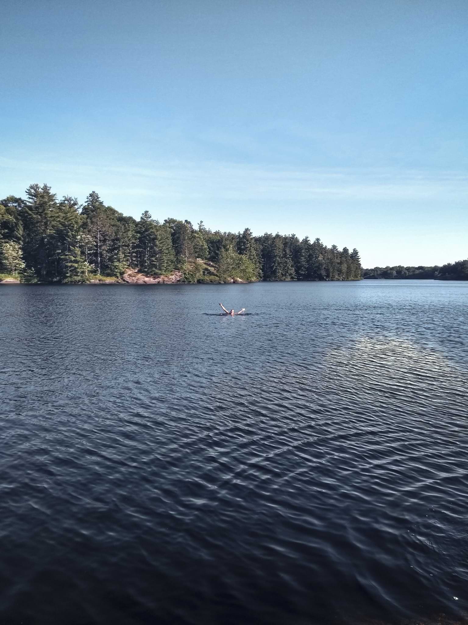
Locating blazes at this point was a long process. We stopped and started dozens of times, spending between 5 and 10 minutes locating the trail, only to walk a couple 100 meters and complete this process all over again. Combined with the bugs, stinking heat, and lack of water I just about wanted to tear my hair out, but upon close inspection of our map, we decided to set our horizons on a campsite on Rainy Lake. Large open water not only meant decent water, but a place to swim, fight off the bugs, and rest - the kilometers were stacking up and we all deserved a healthy break.
Fortunately while the hike to Rainy Lake felt like the world was moving in slow motion and we were never going to arrive, eventually we popped over a steep ridge and were greeted with the prize we were all dreaming of. Crystal blue waters, an oasis in a bug-infested park - what more could any of us ask for?
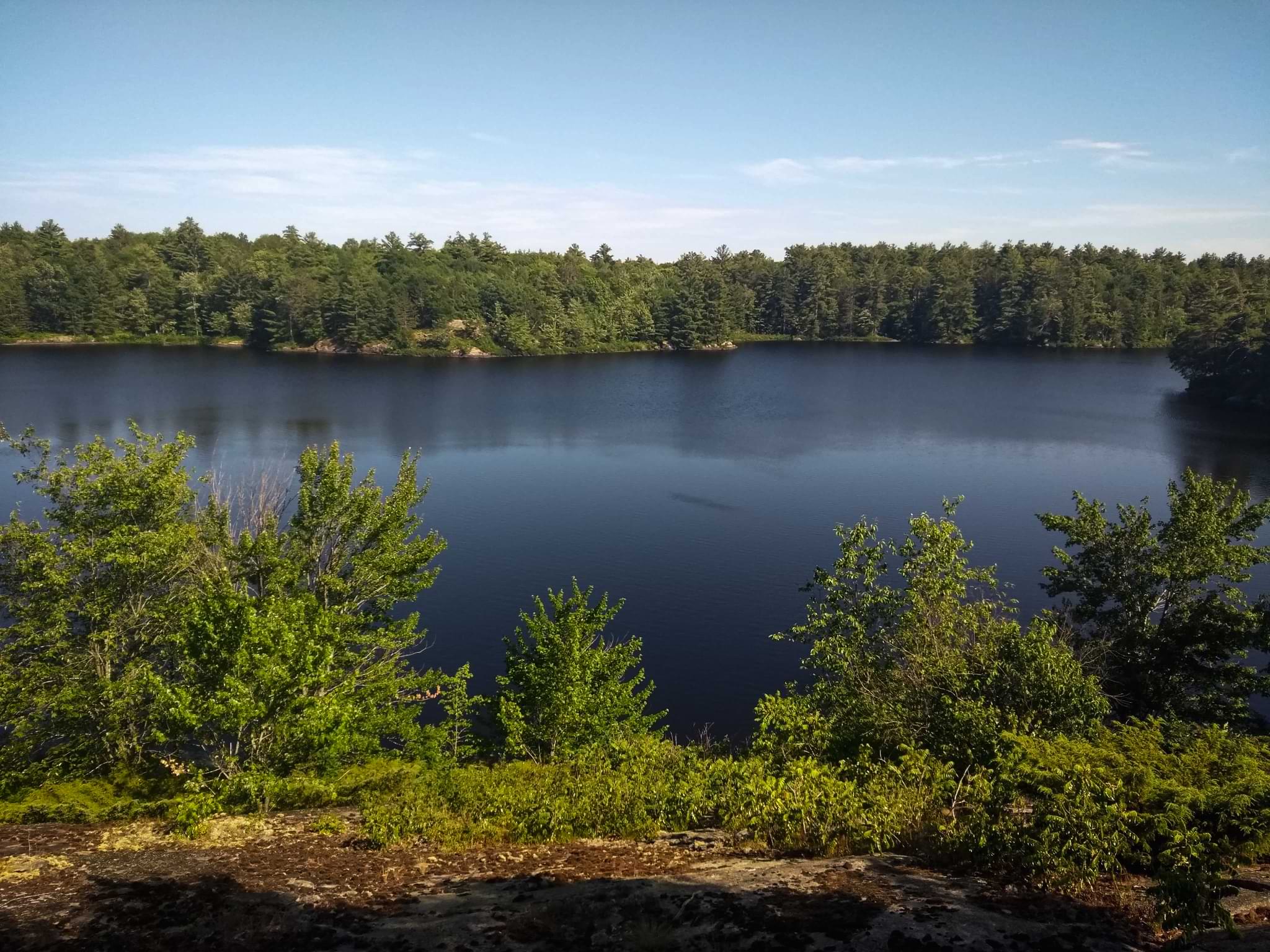
Scrambling down the ridge, Paul secured us one of two campsites on the lake (very rarely used) and the rest of us basically sprinted towards the water, ripping off clothes and gear in the process just to immediately jump in. I can tell you with 100 percent certainty that it was the best swim I’ve ever had in my entire life. The immense relief, the retreat from the heat, the cooling sensation soothing my hundreds of bug bites - one of the most blissful experiences of my young life. I don’t rarely swim for very long, but I was at least in the water for 30 minutes, jumping in again once camp was set up the the night.
Besides swimming, we had another quick dinner (delicious of course) and quickly retreated to our tents, partaking in some stretching and of course, our nightly ritual of killing any mosquitoes that managed to invade our sleeping territory.
**Day Three - 15 Kilometers ** (give or take)
Rather than heading down to High Falls and looping back around the trail to Hiker’s Graveyard, we chose to double back, repeating our hike from the day before, but returning to Victoria’s Falls via the Ragged Rapid’s Trail. After eating a breakfast of oatmeal, this is exactly what we did.
Bellies full, we retraced our steps back up the granite ridge and onto the trail, facing less difficulties than before in terms of pathfinding due to our newfound familiarity with the trail. The bugs were still abysmal, but time seemed to move a bit faster knowing where we had to go. In what seemed like the blink of an eye we had left the watchful gaze of Rainy Lake, slipped past Hiker’s Graveyard, waved happily at our old lunch spot, and found ourselves at Black Fly Junction, prepared to travel along the Ragged Rapid’s Trail to enjoy views of the Black River.
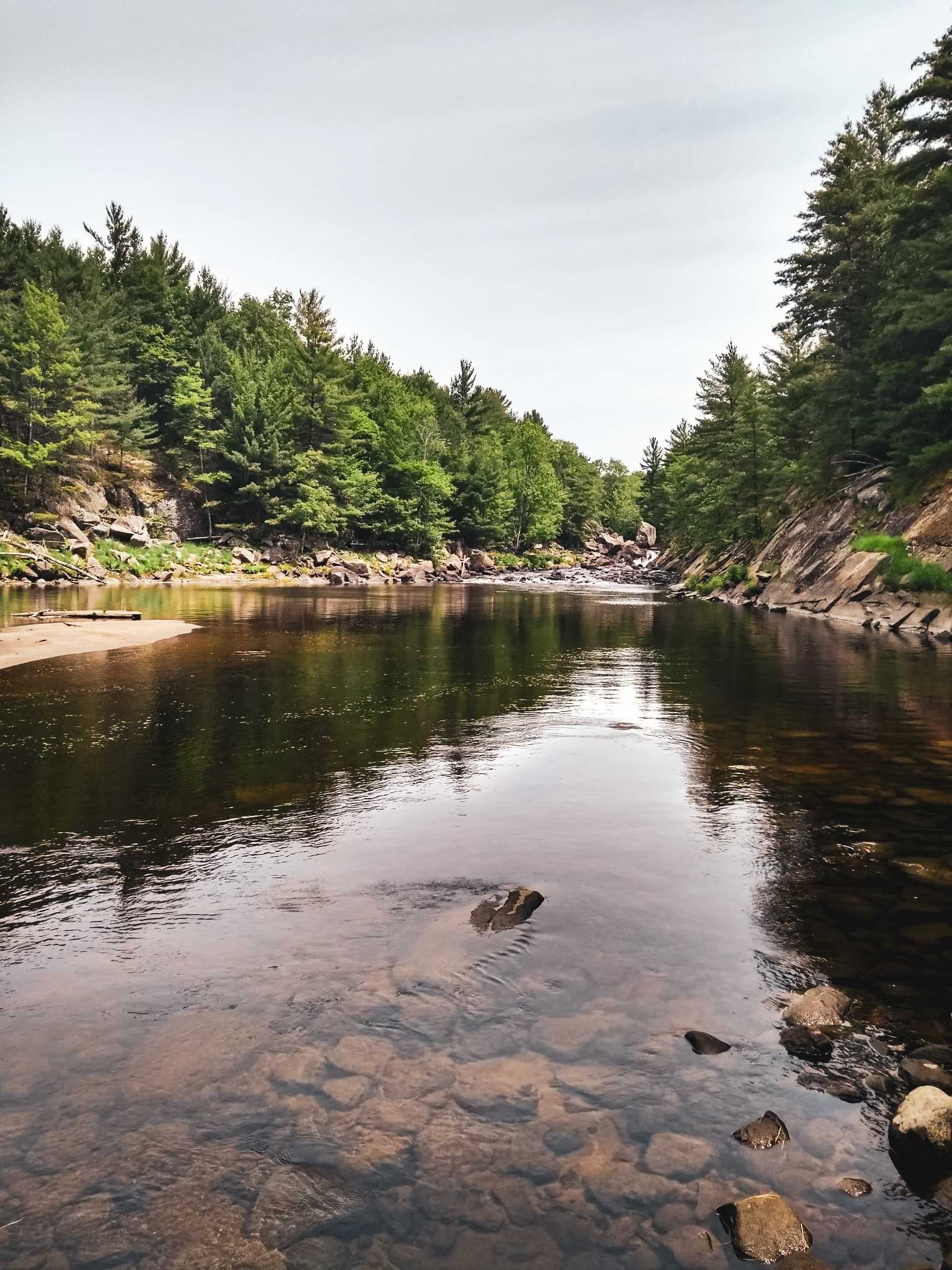
Now this is where things get blurry for me. While the trail is supposed to be enjoyable, I was blinded by sheer panic and rage. Why you may ask? Well the trail starts off at a fairly high elevation and slowly creeps downwards into a damp, muddy, and thickly forested gully. While beautiful in normal circumstances, these conditions just happen to create the perfect breeding ground for mosquitoes, so for me this meant I had just entered into a vortex of hell. My hiking speed ramped up, to the point where I was jogging at times, completely ignoring at view points, swimming opportunities, or a chance to have a break (this was when my bug swatting stick came to be). My friend Monica was in a similar headspace, so we stuck together, basically sprinted to a high point of the trail in search of some kind of breeze to fend off the bugs. The remainder of our crew took their time, snapping photos of the river, enjoying the views, and even partaking in a refreshing swim (I continued to agressively swat bugs with my brand new, nature-made flyswatter).
Swatting my new-found bug destroying weapon after waiting for the remained of our crew to catch up, we slowly made our way back to Black River Junction and our final, probably the best stop yet - the magical beach we spotted on Day One. This time however, everyone was prepared to have a cool, relaxing dip in the river. While not as perfect as our swim in Rainy Lake, the beach at Victoria Falls was wonderful. The water kept the bugs at bay and we were able to enjoy lunch without battling too many mosquitoes and black flies.
As much as I probably could have stayed at that little beach all day, I was prepared to retreat to the van (the reliable super van, of course) for safety from the sun and most importantly the bloodsucking creatures that were driving everyone insane. Despite being a little sad our trip had come to an end, I was ready to get home to have a shower, use an actual toilet (a luxury we honestly look forward to after being on the trail), and have a nice, comfy, and cozy sleep in an legitimate bed.
Trail Information
Distance: 32 kilometers (give or take)
Elevation Gain: No mountains, so pretty irrelevant on this trail. There are ups and downs, but all very manageable.
Highest Point: Unknown. Again, you aren’t summiting a peak.
Time Needed: As you read, it took us between 2-3 days to complete (mostly) this section of the trail. It’s totally possible to do this section of trail in a couple of days, but my group chose to take our time and move at a pace that worked for everyone (a total of 5 people).
Personal Rating: Bugs aside, I really enjoy the Ganaraska Trail. I’ve had the opportunity to hike in this area for a number of years, mainly to take part in winter camping. I would almost say that this trail is better in the off-season, when the weather is a bit more favourable in terms of bugs and heat. Water quality is significantly improved as well, which is a wonderful thing (I personally don’t like drinking water that tastes like nature’s butthole, but sometimes you have no choice). Overall, excellent park to visit if you get the chance - just think twice when you decide to go. Timing is everything.